It still isn’t warm or nice, merely cold and raining. I’ve decided to add Google Earth photos to show just how big or small the towns I cycle to are.
Here is Penfield, Ohio. As you can see it isn’t much more than a crossroad.
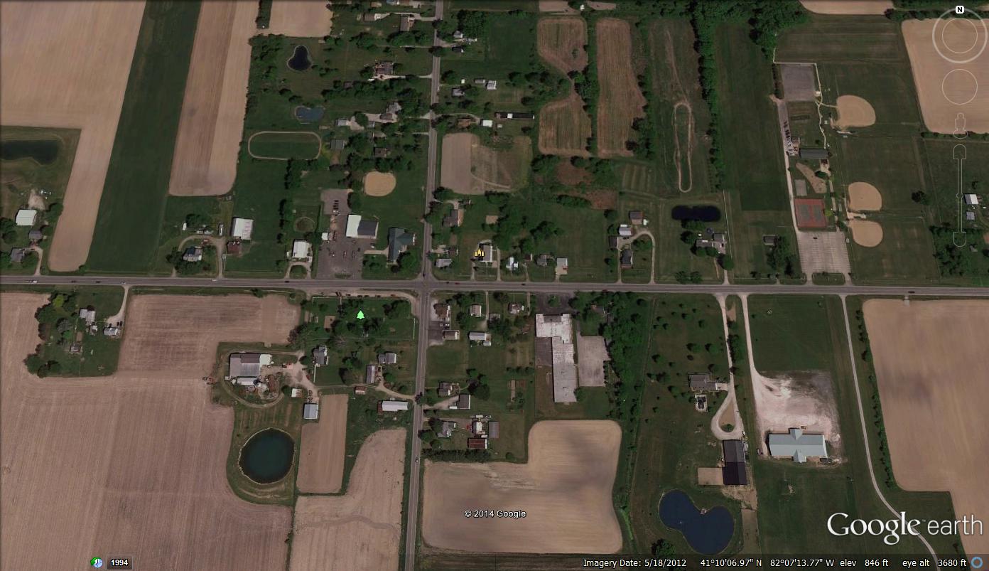
Penfield, Ohio
Here is Litchfield, Ohio. The first picture gives you an overview. The closer picture shows the restaurant, gas stations and businesses much clearer.

Litchfield, Ohio

Litchfield, Ohio
I’ll be appending these to the previous post about riding there. I’ll be adding Google Earth images to give a clearer idea of where I’m riding. I’m hoping to hit a lot of towns, if the weather ever improves.

